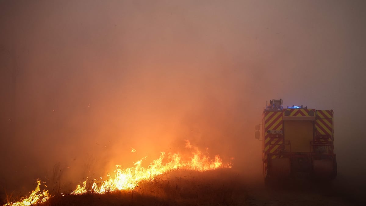


If you have never heard of pyrocumulonimbus, it is simply because it has never formed on French territory. As flames continue to rage this Monday, July 27 in Gironde, leading to the evacuation of several hundred thousand people and burning some 42,000 hectares, the vocabulary surrounding them has been considerably enriched. A development which can be explained by the unprecedented nature of the incendiary episode that France is going through and certain phenomena which take part in it. Overview of terms to know to better understand the situation.
Convective fire
Unpredictable and almost impossible to extinguish: “We have never seen this, a convective fire of this magnitude,” commented Interior Minister Laurent Nuñez on Friday July 24. The expression designates one of the three types of fire that firefighters distinguish based on the way a fire behaves. If topographical fires (linked to the relief) and those guided by the wind are well known to firefighters who manage to anticipate their movements and evolution, convective fires are much more erratic.
A fire is said to become convective when the column of hot air it produces, which rises above its hearth, becomes exceptionally powerful. Then the behavior of the fire changes, and a suction phenomenon occurs at ground level to supply this column. The fire causes its own wind, which feeds the flames. A self-feeding system which contributes to accelerating the spread of the fire, without us being able to anticipate in which direction. Thus the convective fire generates its own weather, and perhaps causes the creation of a pyrocumulonimbus.
Pyrocumulonimbus or “fire storm”
Friday July 24, a pyrocumulonimbus formed in the Gironde sky. A phenomenon that Marc Vermeulen, director of the Gironde departmental fire service, described as a “fire storm”. Concretely, this incendiary cloud does not generally generate precipitation but dry storms, capable of triggering new fires.

Loaded with particles and soot coming from the combustion of vegetation, the cloud is formed from smoke drawn upwards thanks to a sufficiently unstable and humid atmosphere. In addition to causing potentially incendiary flashes, it can lead to “ember attacks”, in which twigs, branches and other flammable materials spread through the air and rain down on the surrounding area.
Fire swings
Specialists speak of “fire swings” to designate the projections that contribute to the spread of forest fires. In fact, pieces of bark or flaming ashes from the original fire can travel from a few meters to several hundred meters, or even several kilometers, and thus encourage the emergence of secondary outbreaks.
Areas where there are numerous pine forests, as is the case in the Landes forest, are particularly prone to this projection phenomenon. “During a fire, pine cones absorb a lot of gas and turn into incandescent projectiles. There is a missile effect,” explains fire brigade spokesperson Éric Brocardi on franceinfo.
Firewall
Intended to block the progression of the fire, the firewall is a barrier that can take different forms. It consists of an area where the fire can no longer burn plants as it passes through, thus depriving it of fuel. The barrier can be made of artificial obstacles or a strip of sand along the width of which the trees have been cut. It can spread over several hundred hectares.
However, it appears to be relatively effective, varying greatly depending on the season, the wind, the intensity of the fire and the biogeographic context. It can therefore prove useless in very dry areas. Very strong winds, sometimes, can allow flames to cross very wide roads or even rivers.
This content is blocked because you have not accepted cookies and other trackers.
I manage my choices I authorize