
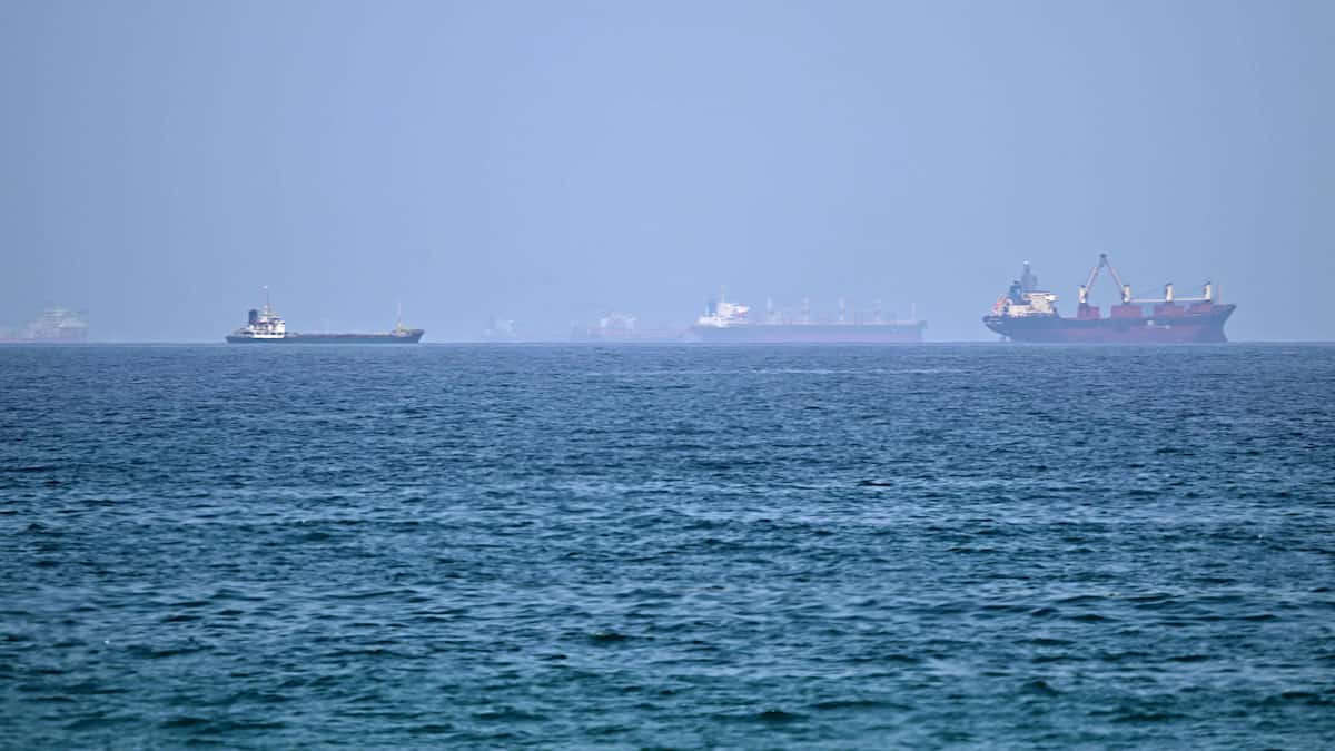

Here is what we know about how boats are currently crossing the Strait of Hormuz, a strategic route that has been heavily disrupted since the start of the war in the Middle East at the end of February.
Crossings in this waterway which separates Iran from the Sultanate of Oman currently represent only a third of pre-conflict traffic. Boats attempting to pass must contend with new routes, attacks on ships and the risk of mines.
What routes do boats take?
Currently, ships take at least two routes to cross the strait.
The Iranian route, the only one approved by Tehran, has been used since the start of the war and is located in the north of the strait, near the island of Larak.
This route concerns around 32% of the strait’s traffic, according to data from the maritime monitoring platform Kpler as of July 1.
The Omani road consists of a very narrow passage, “between the Omani coast on one side and potentially mined areas on the other,” according to Ana Subasic, analyst at Kpler.
Around 23% of vessels take this route, presented as temporary as part of coordination between Oman, the UN and the International Maritime Organization (IMO).
The Joint Maritime Information Center (JMIC), a maritime security coalition of 47 countries, as well as a NATO naval body, NCAGS, also offer guidance for using this route.
Officially announced in June, it was used by the first boats from the beginning of April.
A larger proportion of ships, about 46% since the start of the war, have crossed the strait with their transponders turned off, according to Kpler data, making their route more difficult to detect.
According to analysts interviewed by AFP, the ships which crossed recently without emitting a signal seem to have favored the Omani route, presumably to “avoid signaling their position by passing within range of the Iranians and in a context of warnings from the Revolutionary Guards”, according to Ana Subasic.
Where have the recent attacks taken place?
At least five merchant ships have been attacked since the memorandum of understanding signed on June 17 between Washington and Tehran.
The targeted boats had opted for routes south of the strait, against which Iran had been warned.
Three of those attacks took place off the coast of Oman and the United Arab Emirates between Monday and Tuesday, sparking new hostilities between the United States and Iran and then leading Donald Trump to declare that the ceasefire was over.
How has traffic changed since the war?
Before the war, boats crossed the strait for free under the Traffic Separation Scheme, a two-way route down the middle of the waterway, adopted by the IMO in 1968.
These corridors, which previously saw an average of 120 boats transit per day, are not currently used due to the risk of the presence of mines.
A return to normal in the strait should not be possible until traffic is restored in this corridor, according to experts.
However, Tehran, which claims sovereignty over the strait, says there will be no return to the pre-war situation and said in June it was considering charging costs for operating the strait with Oman.
What do ships have to do to cross?
The procedures that boats crossing the strait must follow depend on the route chosen.
The Iranian route is managed by the Persian Gulf Straits Authority (PGSA), which earlier in the conflict charged for the crossing.
Boats must submit an application, and in the event of a positive response, they obtain a permit for a single passage valid for a maximum of five days.
This practice, unprecedented before the conflict, is contrary to the United Nations Convention on the Law of the Sea, which guarantees freedom of navigation in straits used for international navigation, but which Iran has never ratified.
For the Omani route, boats are supposed to “coordinate with the corresponding coastal state, keep their transponder on, and assess their risk themselves,” Ana Subasic explained to AFP.
Boats that choose this narrow route often cross in groups to avoid the risk of congestion or collision.